Ramsey County Trails
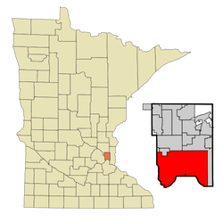
The highlighted city is Saint Paul.
Ramsey County is the core of the five-county metro area, home to the state's capital city, Saint Paul. As a Saint Paulite I'm jealous of Minneapolis's notably better trail system, but we still have a decent number of trails over here. They connect different sections of the county as commuter routes, while offering some recreational options. However, you might have to do some street biking if you want a nice long ride.
Trails in Ramsey County
Rating 5:
Rating 5:
Rating 4 ½:
Rating 4:
Rating 3 ½:
Rating 2 ½:
Rating 2:
Rating 1 ½:
Rating 1:
Suggested Rides in Ramsey County
Battle Creek Regional Trail
Length: 1.9 miles
Rating: 4 ½ / 5
Surface: Asphalt
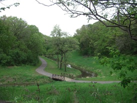
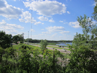
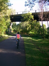
Breathe in and say "aaah" on one of the most cool and refreshing rides in the metro. It begins at the Point Douglas Trailhead off Highway 61, where you can connect to the Sam Morgan Trail. From there, it begins an upstream climb next to Battle Creek to its McKnight road terminus, crossing the creek several times on picturesque bridges, but only needing to cross two streets. At first, human intervention through storm drains and dams damages the creek's natural identity, but north of Upper Afton Road, the creek is wonderfully wooded and wild.
(Last biked Sunday, September 28th, 2014, 12 PM to 1 PM)
FYI: Battle Creek Regional Park also has a system of mountain bike trails, and a paved trail loop in Maplewood (which I have not biked). Click here for a map of the park.
____________________________________________________________________________________________________________________________________________
Birch Lake Regional Trail
Length: 1.1 miles to Hammond Road; 2.4 miles to Tamarack Nature Center
Rating: 2 / 5
Surface: Asphalt
Birch is a lovely lake, but you will only catch glimpses of it from the unexceptional Birch Lake Trail. The pavement condition is a bit below average, and the trail parallels moderately busy thoroughfares through a sparse suburban area, gradually getting quieter and more pleasant as you head north toward the Tamarack Nature Center. You can also bike along the north shore of Birch Lake on a shorter, nicer trail (marked on the map).
(Last biked Thursday, July 10th, 2014, 12 PM to 2 PM)
_______________________________________________________________________________________________________________________________________________
Bruce Vento Regional Trail
Length: 7.5 miles
Rating: 4 / 5
Surface: Asphalt
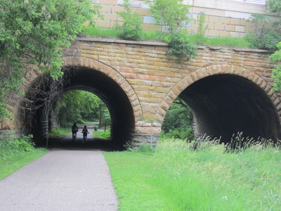
This rail trail connects the Gateway Trail to Lowertown Saint Paul (there is now bicycle access to Prince Street). It begins by heading north through Saint Paul's East Side, passing through beautiful Swede Hollow Park, and running along the somewhat industrial thoroughfare Phalen Boulevard. Your way here is happily marked by new directional signs. North of Lake Phalen, the scenery of the trail changes dramatically as it enters forested straightaways through Maplewood (where it crosses the Gateway) to Vadnais Heights, ending near 694. There have long been future plans to extend the trail to White Bear Lake and beyond at an undefined date.
(Last biked Sunday, June 22nd, 2014, 4 PM to 6 PM)
Go to https://www.ramseycounty.us/sites/default/files/Parks%20and%20Recreation/Regional%20Trail%20Maps%20-%20Bruce%20Vento.pdf to download a PDF map of the Bruce Vento Regional Trail.
______________________________________________________________________________________________________________________________________________
|
Central Park Trails
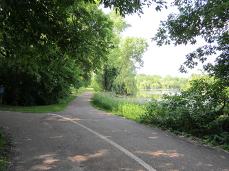
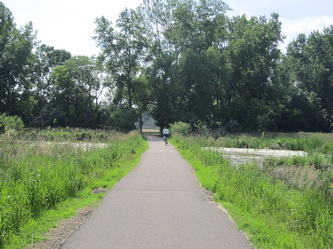
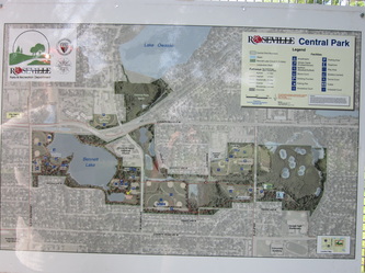
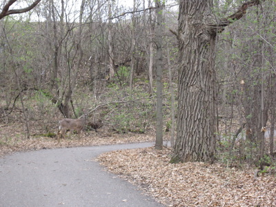
Length: 3.1 miles total Rating: 4 / 5 Surface: Asphalt Roseville's Central Park has a nice small set of trails winding through it. The most popular is Bennet Lake, which has separate trails for walkers and bicyclists (though you will frequently find pedestrians on the bike trail, annoyingly). These trails are at their best when they curve away from the cars, ballparks and picnic benches of modern life, and wind through beautiful wooded areas and past goose-riddled ponds. (Last biked Sunday, June 30, 2013, 4 PM to 6 PM) Click to enlarge a map of Central Park. |
THE NUMBERS
Around Bennet Lake: 1.3 miles Victoria to Dale (north route): 0.5 miles Victoria to Dale (south route): 0.7 miles Dale to Cohansey/B2: 0.4 miles Dale to Reservoir Woods (Dale Street Trail): 1.2 miles |
________________________________________________________________________________________________________________________________________________________
|
Cherokee Park Trail
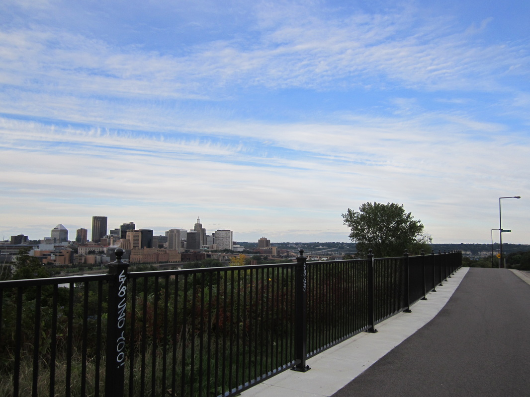
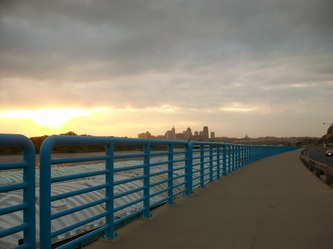
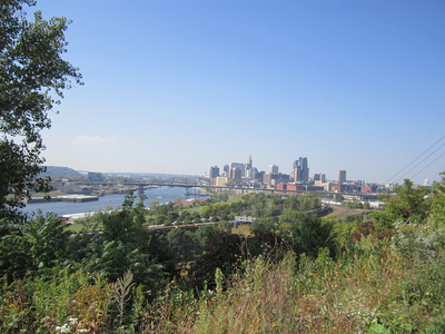
Length: 1.9 miles Rating: 4 ½ / 5 Surface: Asphalt (brief on-road) From Harriet Island, you can ride on this new trail up a long, curving hill to the top of the High Bridge, where you'll find much of Saint Paul spread out before your eyes. The 200+ degree panorama is definitely worth the climb. From there, one can travel briefly on roads (marked by signs) to reach the rest of the trail, which parallels a winding street through quiet Cherokee Park. Only occasional glimpses through the trees alert you to the fact that you're riding atop what may be the highest bluffs in the Twin Cities. (Last biked Sunday, September 14th, 2014, 4 PM to 6 PM) |
_________________________________________________________________________________________________________________________________________________________
East Mississippi River Gorge Regional Trail (a.k.a. East River Trail)
Length: 7.9 miles
Rating: 4 / 5
Surface: Asphalt
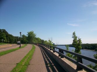
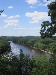
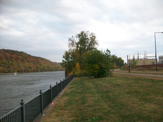
This trail begins unmarked on the U of M campus, accessible from the Dinkytown Greenway. The trail is a treasure, popular for good reason, paralleling Mississippi River Blvd and the deepest part of the Mississippi Gorge. The gorge gets wilder the farther south you go, and foliage is spectacular in autumn. Though erosion crumbles the pavement more on this side of the river, several scenic overlooks, and smaller openings in the trees everywhere, include views topping those on the Minneapolis side. The trail is mostly a shared-use trail, but if you find pedestrian traffic on the trail to be too heavy for your desired speed, you can ride in the bike lane on the road. From the end, at Two Rivers Overlook, you can continue onto the Sam Morgan Trail, or take the 5 Bridge/Mendota Bridge Trail to Fort Snelling and the Big Rivers Trail.
(Last biked Saturday, June 21st, 2014, 8 PM to 10 PM)
FYI: There are plenty of good reasons to stop along this trail, some of which are noted as blue landmarks on the map below.
_________________________________________________________________________________________________________________________________________________
|
Grass Lake Trail
Length: 1.2 miles Rating: 4 ½ / 5 Surface: Asphalt Snail Lake Park's Grass Lake Trail weaves through woods and wetlands near quiet and preserved Grass Lake. You won't see any boats here, just trees, birds, and distant radio towers. (Last biked Wednesday, July 30th, 2014, 10 AM to 12 PM) |
____________________________________________________________________________________________________________________________________________________
Hidden Falls - Crosby Farm Trail
Length: 3.7 miles
Rating: 4 ½ / 5
Surface: Asphalt
This pleasant trail follows the Mississippi River below the bluff in Hidden Falls and Crosby Farm Parks. If you keep right (or left if heading west) through Crosby's trail system, you will be rewarded with near constant views of the river. Catch some views of Crosby Lake before the trail ascends to Shepherd Road and the Sam Morgan Trail. Though the pavement is sometimes quite bumpy, this beautiful floodplain, full of old cottonwood trees, should not be missed.
(Last biked Saturday, May 31st, 2014, 12 PM to 3 PM)
_____________________________________________________________________________________________________________________________________________________
Highway 96 Regional Trail
Length: 7.2 miles total (not including half-mile gap)
Rating: 1½ / 5
Surface: Asphalt
The name says it all.
Eastern Segment (1.6 miles, Rating 1)
This tattered, low-maintenance trail parallels Highway 96 (sometimes called Co. Rd. G) from White Bear Lake to 35E. Commuters might as well just ride on the road, and it holds no appeal for recreational bicycling.
(Last biked Sunday, September 25th, 2011, 4 PM to 5 PM)
Western Segment (5.6 miles, Rating 1½)
This segment parallels 96 from 35E to Snelling. Though the pavement is better, there are more trees, and it passes some of Shoreview's lakes, it's still loud, exhaust-choked and boring.
(Last biked Thursday, July 10th, 2014, 12 PM to 2 PM)
Go to https://parks.co.ramsey.mn.us/Documents/Highway96RegionalTrail.pdf to download a PDF map of the Highway 96 Regional Trail.
______________________________________________________________________________________________________________________________________________
I-35E Trail (aka. I-35E Parkway Bike Route)
Length: 3.7 miles
Rating: 2 ½ / 5
Surface: Asphalt, Concrete & some on-road
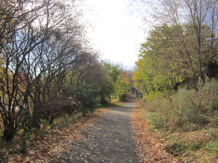
For a trail right next to a freeway's sound wall, the I-35E Trail is surprisingly verdant. Then again, 35E between downtown Saint Paul and the river is not an ordinary freeway – it's a reduced-speed semi-parkway thanks to local activism. That said, the pavement of the trail is notably below average, and some road crossings are inconvenient for bicycles, particularly those around Grand Avenue. Many portions are on side streets (usually marked with signs), making this perhaps more accurately called a “bike route” than a “trail.” Unless you're commuting or live on the trail, don't go out of your way to ride here.
(Last biked Sunday, October 19th, 2014, 2 PM to 3 PM)
________________________________________________________________________________________________________________________________________________________
|
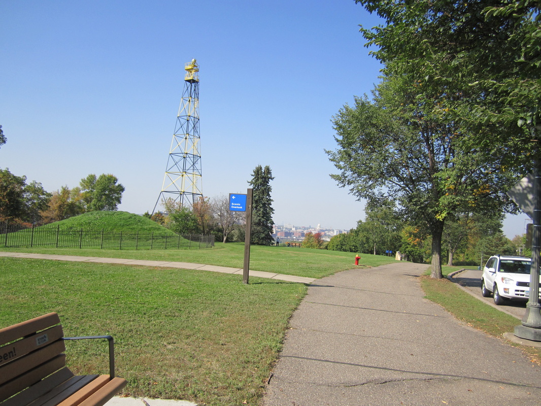
Indian Mounds Park Trail
Length: 2.0 miles Rating: 4 / 5 Surface: Asphalt (one sidewalk section) When it comes to blufftop views in Saint Paul, Indian Mounds Park wins in the department of extended stretches of trail with constant panoramas. From here you can see downtown Saint Paul, distant downtown Minneapolis, and also down the river. Atop the highest bluff are the sacred burial mounds that gave the park its name, as well as one of the last remaining airway beacons in the United States. The trail parallels Mounds Blvd, is bumpy in many places and narrow in others -- the draw here is the sights. The trail continues down the bluff on Commercial Street, linking up with the Bruce Vento Trail. (Last biked Sunday, September 28th, 2014, 11 PM to 1 PM) |
_______________________________________________________________________________________________________________________________________________________
|
Lake Avenue Trail (White Bear Lake)
Length: 1.6 miles Rating: 4 ½ / 5 Surface: Asphalt Just east of downtown White Bear Lake, this trail runs along the shore of White Bear Lake, paralleling one-lane Lake Avenue and featuring numerous stretches of views. You'll notice that the shore is a lot farther away than it used to be -- this lake is shrinking due to the drainage of wetlands for suburban developments. (Last biked Thursday, July 10th, 2014, 2 PM to 3 PM) |
____________________________________________________________________________________________________________________________________________________
Lake Como Trail
Length: Lake loop 1.8 miles, Lexington spur 0.8 miles
Rating: 3 ½ / 5
Surface: Asphalt
This popular one-way trail loops around a partially human-made lake. You'll find some nice stretches when the trail curves slightly away from the lake, such as on Nausbaumer Hill (though the pavement on that section could really use re-doing). Loop is one-way counterclockwise. A spur trail next to Lexington Parkway connects Minnehaha Avenue with the lake via a new bridge.
(Last biked Thursday, May 18th, 2017)
_______________________________________________________________________________________________________________________________________________
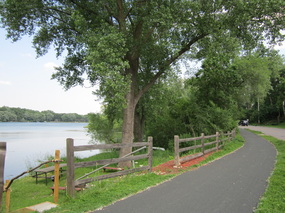 The lakefront portion of the McCarrons Loop.
Lake McCarrons Trail
Length: 2.1 mile loop
Rating: 3 ½ / 5
Surface: Asphalt
Compared to Como, Phalen and Central Park's Bennett, Lake McCarrons is much less biked, more well-known for its swimming beach than for its bike trail, which connects Reservoir Woods with the Trout Brook Trail (and thus, the Gateway). It's decent and not too crowded, but the lakefront is limited to a few blocks along the southern side of the loop. You will only catch glimpses on the rest of the trail, which goes past busy Rice Street and nearby suburbs. Loop is two-way.
(Last biked Thursday, May 18th, 2017)
__________________________________________________________________________________________________________________________________________________________
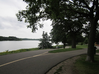 The Lake Phalen Trail.
Lake Phalen Trail
Length: 3.1 mile loop
Rating: 4 ½ / 5
Surface: Asphalt
This loop (one-way clockwise) goes around Lake Phalen in Phalen-Keller Park, with plenty of ups and downs on which you can pick up a lot of speed. On sections shared with walkers, having to ride on what seems like the left side of the dividing line can be a bit confusing. The trail and park are justifiably very popular, yet the lake remains surprisingly tranquil. An 0.3-mile spur along Phalen Creek links Lake Phalen with the Gateway Trail.
(Last biked Thursday, May 18th, 2017)
_________________________________________________________________________________________________________________________________________________________
|
Lexington Avenue Trail
Length: 9.5 miles Rating: 1 ½ / 5 Surface: Mostly asphalt, some concrete The longest street in the Twin Cities has a trail paralleling it from Saint Paul to Shoreview, where you can connect to the Rice Creek North Trail and the East Anoka County Trail (which continues to parallel Lexington all the way to Blaine). That said, the Lexington Avenue Trail is nondescript and rather unpleasant as it parallels this major road, useful only as a reasonably fast way to get from Point A to Point B. (Last biked Sunday, November 2nd, 2014, 3 PM to 5 PM) The map at right shows both the Lexington Avenue Trail and the East Anoka County Trail to the north. |
|
_________________________________________________________________________________________________________________________________________________________
Lilydale Regional Trail (a.k.a Lilydale-Harriet Island Trail or Big Rivers Trail)
Length: 3.2 miles
Rating: 5 / 5
Surface: Asphalt
What was once a bumpy backwater has gotten a makeover. From Harriet Island (not an island anymore), the Lilydale Trail brings you into the Mississippi River ecosystem. But for a ten-foot portion on Water Street under a bridge, the trail is now repaved, off streets, and dotted with overlooks. It splits in two and makes a short loop, which, being on a flat floodplain, is perfect for beginners. One trail goes closer to the Mississippi River, while the other goes along bluff-lined Pickerel Lake.
(Last biked Friday, June 19th, 2015, 10 PM to 2 PM)
____________________________________________________________________________________________________________________________________________________
|
Reservoir Woods Trail
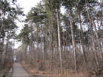
Length: 1.4 miles Rating: 5 / 5 Surface: Asphalt This wonderful trail winds through Reservoir Woods Park. Almost the entire trail is in lush, deep forest, which changes character each season and resembles forests in northern Minnesota. If you begin from Victoria Street (the direction I would recommend), the trail winds uphill to the new reservoir, with its 2001: A Space Odyssey vibe. From there, the trail glides down a steep hill that lasts half a mile and is a lot of fun (keep right at all three junctions), then curves south into smaller rolling hills. It also connects with the trail around Lake McCarrons (which leads to the Trout Brook Trail) via a spur. (Last biked Thursday, May 18th, 2017) |
FYI
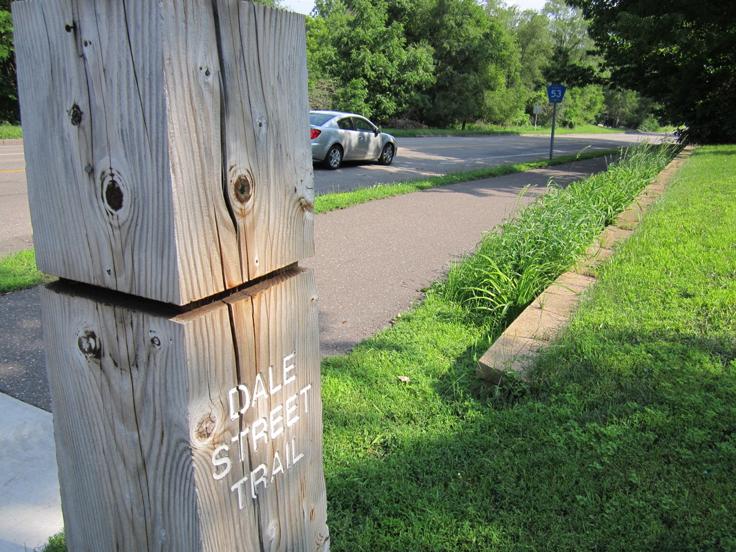
It's 1.2 miles from Reservoir Woods to Central Park via the well-marked but not very interesting Dale Street Trail. Just turn north at the junction in the pine forest. |
________________________________________________________________________________________________________________________________________________________
Samuel H. Morgan Regional Trail
Length: 9.3 miles
Rating: 3 ½ / 5
Surface: Asphalt & Concrete
The Sam Morgan Trail showcases many sides of Saint Paul, both pleasant and not so much. It follows Shepard/Warner Road, one of the Twin Cities most scenic highways (though it is still a highway), along the Mississippi River gorge from its confluence with the Minnesota all the way to the Battle Creek area.
Having been newly repaved and renovated, the scenic segment above Crosby Farm Park is now practically the trail’s highlight, despite the omnipresent highway. Past 35E, both views and maintenance temporarily thin out. At Randolph Avenue, be sure to divert away from the road onto the more interesting alternate trail. It offers views of some of Saint Paul’s big-ticket sights – the Cathedral, Downtown skyline, High Bridge, and beautiful foliage in fall – before rejoining with the main trail at Upper Landing Park. Beyond Downtown, the trail passes across wind-rippled floodplains, then climbs steeply above a sea of industry. At the junction at Fish Hatchery Road, continue straight to get on a spur to beautiful Indian Mounds Park, or turn right to continue to Battle Creek. The final portion of the trail winds through the woods to Highway 61, which it briefly parallels with views of the Saint Paul skyline across Fish Hatchery Lake. From the Point Douglas Trailhead at the end, you can pick up the Battle Creek Trail.
(Last biked Sunday, May 17th, 2015, 12 PM to 2 PM)
ALERT (2017): The Fish Hatchery Lake portion of the Sam Morgan Trail is closed until further notice.
_______________________________________________________________________________________________________________________________________________________
Snail Lake Trail(s)
Length: North trail 0.9 miles, south loop 1.4 miles
Rating: 5 / 5
Surface: Asphalt
This wonderful trail loops around a spectacular wetland, ringed by forest, near Snail Lake and accessible from its beach. Its lush scenery and few signs of development (besides the occasional glimpse of a backyard) would make even the most jaded cynic smile. It's mostly flat, and features a 1.4-mile loop with no road crossings, so it's a great place to learn to bike. It's also the kickoff point for the beautiful Vadnais Lakes Loop.
(Last biked Wednesday, July 30th, 2014, 10 AM to 12 PM)
___________________________________________________________________________________________________________________________________________________
Sucker Lake Trail
Length: 2.6 miles
Rating: 5 / 5
Surface: Asphalt
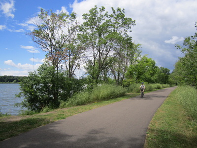
What was once a water utility road, prized among bicyclists for its beauty but open to motorized vehicles, has been turned into a smooth, wide trail for bicycles and walking. The southern half traces a tree-spattered dike across Vadnais Lake. The lake is set in a huge, tree-filled valley, with stark thoroughfares twisting their way along the steep sides... a sight worlds away from the surrounding suburban sprawl. Biking across it is an amazing experience. The northern section goes past Sucker Lake, another nice lake. Both lakes are water reservoirs for the city of Saint Paul.
(Last biked Wednesday, July 30th, 2014, 10 AM to 12 PM)
_____________________________________________________________________________________________________________________________________________
|
Trout Brook Regional Trail
Length: 1.5 miles Rating: 4 / 5 Surface: Asphalt Trout Brook Nature Sanctuary Segment (0.7 miles) Until recently, this nature sanctuary was an undeveloped tangle of grass. The trail, on a converted railroad grade, connects with the Gateway Trail's southern terminus, and features views of industry and the downtown skyline across open fields. (Last biked Monday, August 4th, 2014, 2:30 PM to 4:30 PM) Arlington to Lake McCarrons (1.1 miles) From the Gateway Trail, go west on the sidewalk next to Arlington to connect up with the older portion of the trail off of Jackson Street. Here, the trail passes wild wetlands and follows Trout Brook (now aboveground) to Lake McCarrons. Keep watch for birds and other wildlife. (Last biked Thursday, May 18th, 2017) |
THE FUTURE: The eventual plan is for this trail to go all the way from McCarrons to the Mississippi River, connecting the Sam Morgan, Bruce Vento and Gateway Trails. That will be awesome.
|
____________________________________________________________________________________________________________________________________________
U of M Intercampus Transitway
Length: transitway 2.6 miles, adjacent trail follows transitway for 1.3 miles
Rating: 2 ½ / 5
Surface: Asphalt
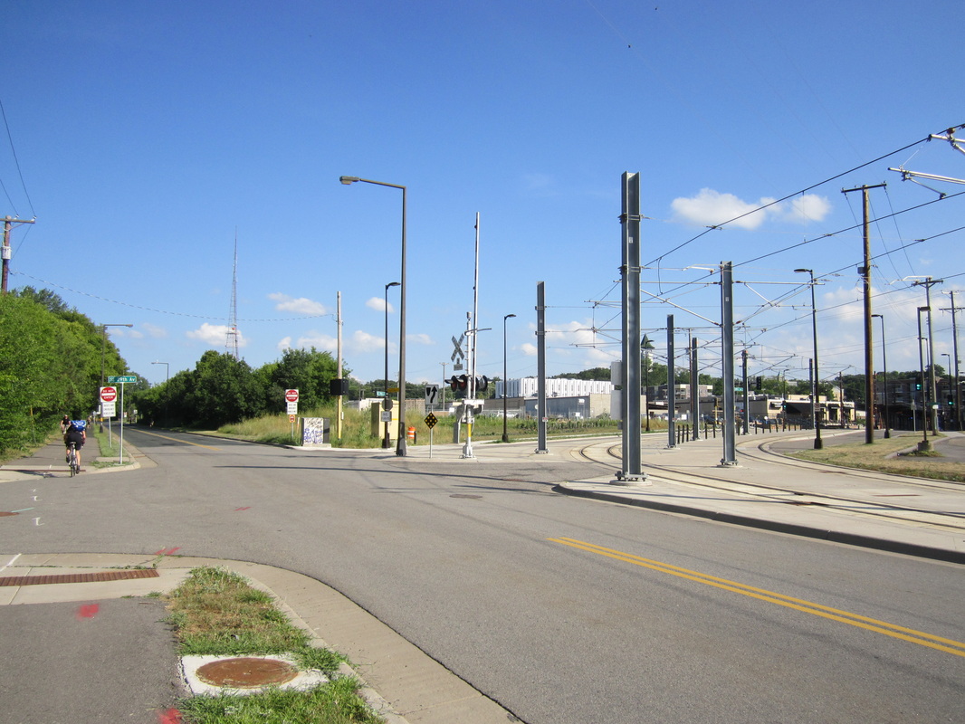
The University of Minnesota Transitway connects the U's Minneapolis Campus (above the river near downtown) to its Saint Paul Campus (near the State Fairgrounds). Only buses, bikes and emergency vehicles are allowed on the transitway -- so the only usual automotive traffic is the campus shuttle every several minutes. There is also an adjacent paved trail for part of the transitway's length. It's a convenient and oft-used commuter route, connecting to the Dinkytown Greenway, two light rail stations, and the Saint Paul Grand Rounds bike route. The scenery, however, is mostly the industrial backwaters that make up the limbo land between the main parts of the two cities. You will likely notice the pollution when climbing over the bridge between Energy Park Drive and Como Avenue.
(Last biked May 2017)
____________________________________________________________________________________________________________________________________________
Ramsey County Rides
Two Lakes Route (8 miles round trip - Saint Paul and Roseville)
This is a shorter version of the Three Lakes Route, described below. Start at Lake Como, a smallish lake along the eastern border of the happening Como Regional park, which includes a zoo, conservatory, and picnic area. From the Lake Como parking lot, head along the lakeshore counterclockwise (the trail is one way, and always busy). A little over halfway around the lake (just north of the peninsula), take a slight right off the trail and up East Como Boulevard, which climbs a ridge on the lake's east side. Keep going straight, and the street becomes Milton. Once you reach Larpenteur (the city line), go up Victoria, which intersects with the other side of the road a few hundred feet to the right, and has a paved trail next to it. Half a mile up Victoria is Roselawn, and from there, turn right on the Reservoir Woods Trail for some densely forested, hilly fun. It's mostly downhill in this direction, including a quite steep descent through a pine forest that lasts half a mile (keep right at both forks). When you reach the kiosk on the opposite side of the tunnel under Dale Street, merge left onto the spur to Lake McCarrons. Soon you'll reach the lake, and turn right for a panoramic cruise above the shoreline. Cut north along the trail next to Rice Street until you reach North McCarrons Blvd. This trail is farther from the lake, but you will still catch a few glimpses, and there's a downhill. However, as you head back, you'll have to head straight up in a strenuous climb through the Reservoir Woods pine forest.
This is a shorter version of the Three Lakes Route, described below. Start at Lake Como, a smallish lake along the eastern border of the happening Como Regional park, which includes a zoo, conservatory, and picnic area. From the Lake Como parking lot, head along the lakeshore counterclockwise (the trail is one way, and always busy). A little over halfway around the lake (just north of the peninsula), take a slight right off the trail and up East Como Boulevard, which climbs a ridge on the lake's east side. Keep going straight, and the street becomes Milton. Once you reach Larpenteur (the city line), go up Victoria, which intersects with the other side of the road a few hundred feet to the right, and has a paved trail next to it. Half a mile up Victoria is Roselawn, and from there, turn right on the Reservoir Woods Trail for some densely forested, hilly fun. It's mostly downhill in this direction, including a quite steep descent through a pine forest that lasts half a mile (keep right at both forks). When you reach the kiosk on the opposite side of the tunnel under Dale Street, merge left onto the spur to Lake McCarrons. Soon you'll reach the lake, and turn right for a panoramic cruise above the shoreline. Cut north along the trail next to Rice Street until you reach North McCarrons Blvd. This trail is farther from the lake, but you will still catch a few glimpses, and there's a downhill. However, as you head back, you'll have to head straight up in a strenuous climb through the Reservoir Woods pine forest.
Vadnais Lakes Loop (9 miles - Shoreview and Vadnais Heights)
This beautiful ride takes you to four wonderful lakes in the suburbs of Shoreview and Vadnais Lakes, and is mostly flat. While there are a couple of sections on busy streets, most of the ride is completely away from roads. Begin at Snail Lake Beach (the northern parking lot of Snail Lake Park) and take the trail under the bridge to get to the Snail Lake Trail. Head right (south) through gorgeous low-lying woodlands, taking the first right to tunnel under Gramsie Road, then merging left onto the Grass Lake Trail. This trail takes you past quiet, marshy Grass Lake and across 694. Turn right on the trail exit after 694, and head south on Soo Street. Turn left on the trail next to Owasso Boulevard, then left again on busy Rice Street.
When you first see Vadnais Lake when crossing 694, it is a stunning sight, set in a huge, tree-filled valley, with stark throughfares twisting their way along the steep sides. Then you get to bike into the valley (on Vadnais Boulevard) and across the lake on the Sucker Lake Trail. After a short jag to the left on County Road F, the trail continues north and passes Sucker Lake, another pretty lake. Both lakes are reservoirs that supply water for Saint Paul. To get to more beauty, take a quick left on the Highway 96 Trail and follow it for a few minutes. When you turn left on the Snail Lake Trail (be vigilant, as it sneaks up on you), things get nice again with more looks at the beautiful area you started with. If you're ready to leave, turn right on the loop section of the trail for the fastest way back to the beach.
If you feel lost on this ride, the Shoreview towers, gigantic radio towers to the southwest, are almost ever-present. Their location in relation to you should be able to tell you something about where you are.
Three Lakes Route (20 miles round trip - Saint Paul, Roseville and Maplewood)
This ride showcases the little-known Reservoir Woods and Trout Brook trails as a new and improved way to get from Como to Phalen. When the trail along Wheelock Parkway is complete in a couple of years, it will be possible to make this a loop. Follow the Two Lakes Route (earlier on this page) to the south shore of Lake McCarrons. Cut through Lake McCarrons Park to Rice Street (if it's hot, go a few blocks south to the Dairy Queen), and get on the Trout Brook Trail to explore the wild wetlands along the wonderful creek. You'll come out back in Saint Paul again. Get on the sidewalk on the south side of Arlington Avenue, and it will link you up with the good old Gateway Trail.
Any ride along the Gateway is a timeless trek through scenic forests and marshes. Turn left and head two miles along the long-converted railroad grade, then take the Keller park spur trail and head south to Lake Phalen. This large, deep lake sits along the border of Saint Paul and Maplewood, in Phalen-Keller Regional Park, and among hills with trees. Loop around the lake and head back toward Como. This time, you could go around the north side of Lake McCarrons if you want some variety. Be warned that now you'll have to head straight up in a strenuous climb through the Reservoir Woods pine forest.
Saint Paul Grand Rounds (32 miles - Saint Paul)
The capital city has a Grand Rounds of its own, using the trails along the river gorge and the bike lanes and parkways of the north. The parkways are having their own off-street trails put in over the course of the next few years. It's at its best in autumn, when the foliage thins out to reveal views from the tops of forested ridges.
The Mississippi Gorge
Begin at the Summit Monument (do not leave valuables in cars), which has a great overlook of the Mississippi River gorge. Much of this ride runs along the gorge. A short walk on a dirt path from your starting point takes you to Shadow Falls, in a pocket of woods bypassed by the scenic drive and trail. Head south on the East Mississippi River Gorge Trail (or the bike lane on the adjacent street if you want to go fast). South of Ford Parkway you'll find viewpoints of Lock and Dam No. 1, and a storm drain discharge called Hidden Falls. As you pass above Hidden Falls Park, smaller overlooks look up the wild gorge all the way to downtown Minneapolis. After crossing Highway 5 you pass the Two Rivers Overlook (it actually just views the confluence of the Mississippi and a back channel of the Minnesota; the real confluence of the two is at the other end of Pike Island). As you start your northwestward trek next to Shepard Road on the Sam Morgan Trail, you can look behind you and see up the vast Minnesota Valley. Coasting downhill toward 35E, the water you see far below through the trees to your right is Crosby Lake. The trail continues next to Shepard Road, heading toward downtown, which is perched on a high ridge above the river. At Randolph, the trail splits: Take the fork closer to the river.
Around Downtown
You'll see Saint Paul's somewhat modest skyline up ahead -- start looking for the cathedral in the hills to your left as you head down to the river's shore. There's a viewpoint under the high bridge from which you can take in the gorge. Soon after you'll reach Upper Landing Park, which has recently been spiffed up with fountains and trees. You will see many a boat and barge at what was once the northernmost port on the Mississippi. Head past the Science Museum and Robert Street Bridge to older Lower Landing Park, where you can ride out onto concrete platforms in the river with views. Continue due east next to Warner Road, and you'll head up a very steep hill (with views over an industrial part of the east side). At the Fish Hatchery Road junction, continue next to Warner Road. At the top of the hill is the Indian Mounds Park Trail. Turn left. The official route of the Saint Paul Grand Rounds then turns right on Johnson Parkway, but I recommend continuing to the mounds themselves: Burial mounds that have been sacred to the Native people of Minnesota for over 2,000 years. Heading downhill, you'll pass the historic Mounds Park Beacon, then you'll reach an expansive view of the Saint Paul Skyline and State Capitol.
The Lakes & Parkways
Head right on Plum Street, which becomes Pacific Street. After a mile, take a sharp left on Johnson Parkway. This busy road takes you across the leafy East Side to pretty Lake Phalen. (As you approach the lake, you'll see the Bruce Vento Trail to the right.) You can get on the trail around the lake, but if you just stay on the parkway it quickly becomes Wheelock Parkway and curves away from the water. Wheelock is a moderate thoroughfare and a great trip to make, and an off-street trail is currently under construction (Wheelock between Phalen and Edgerton is closed summer 2017 for this reason). It begins by heading through the North End, with slight rolling hills. You'll cross the Gateway and Trout Brook Trails. After a few miles, Wheelock makes a strenuous climb up a ridge in two giant switchbacks, then continues along the top of the ridge. When the foliage has dropped during the late fall, winter, and early spring, you can see the whole city spread out before you to the left. The ridge is soon left behind and the parkway eventually comes to small Lake Como. Get on the trail around the lake and head around the north side (stopping at Black Bear Crossing if you like), then turn right toward the memorial with the pink torpedo.
Saint Anthony Park
Keep right, and this trail will take you to Horton Parkway. Take another right on the trail on the south (other) side of Horton, and follow it to Hamline, where Horton becomes Como Avenue. Get on the Como bike lane. At this point, Como Avenue shoots directly toward the Minneapolis skyline, which makes you wonder if you're on the right Grand Rounds. After you go under Snelling, you'll see the State Fairgrounds to your right. You can bike into them if the fair isn't going on, when they are a strange and deserted place. Continue to follow Como into Saint Anthony Park, where the streets can never seem to untangle. Turn left on Raymond Avenue, which is even more curvy. After you cross the railroad tracks on a high bridge, you can pick up a lot of speed as the gradual downhill back to the river begins. Just after crossing University (you're following the "bike route" signs at this point), take a right on Myrtle Avenue, then a left on Pelham Boulevard. After crossing 94 on an exceptionally high bridge, the real descent to the river begins as you enter the Desnoyer Park neighborhood. The steep hill is a lot of fun, but beware of the stop sign at Otis. You'll come to the river just north of the Lake Street Bridge, and from there it's a short ride south (on the East Mississippi River Gorge Trail) back to the Summit Monument.
Go to http://www.stpaul.gov/DocumentCenter/Home/View/2804 to see a Saint Paul bike map with the Grand Rounds highlighted in orange.
