Anoka County Trails
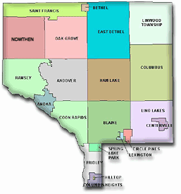
Anoka County is a relatively easy place to get around by bike, and also a rewarding place to bike for fun. Its trails feature multiple wooded corridors along creeks, small rivers, and the mighty Mississippi. Over in Lino Lakes, you'll also find an extensive chain of lakes with breathtaking wetlands. However, bring a map: Many of Anoka's trails are punctuated by unmarked turns and suburban on-street sections.
Image above courtesy http://www.minnesotas-real-estate.com/anoka-county.htm
Trails in Anoka County
Rating 5:
Rating 5:
Rating 4 ½:
Rating 4:
Rating 3 ½:
Rating 2 ½:
Rating 2:
Rating 1 ½:
Suggested Rides in Anoka County
Central Anoka County Regional Trail
Total Length: 15.5 miles (not including gaps)
Average Rating: 2 / 5
Surface: Asphalt
Ramsey to Andover Segment (9.0 miles, Rating 1 ½)
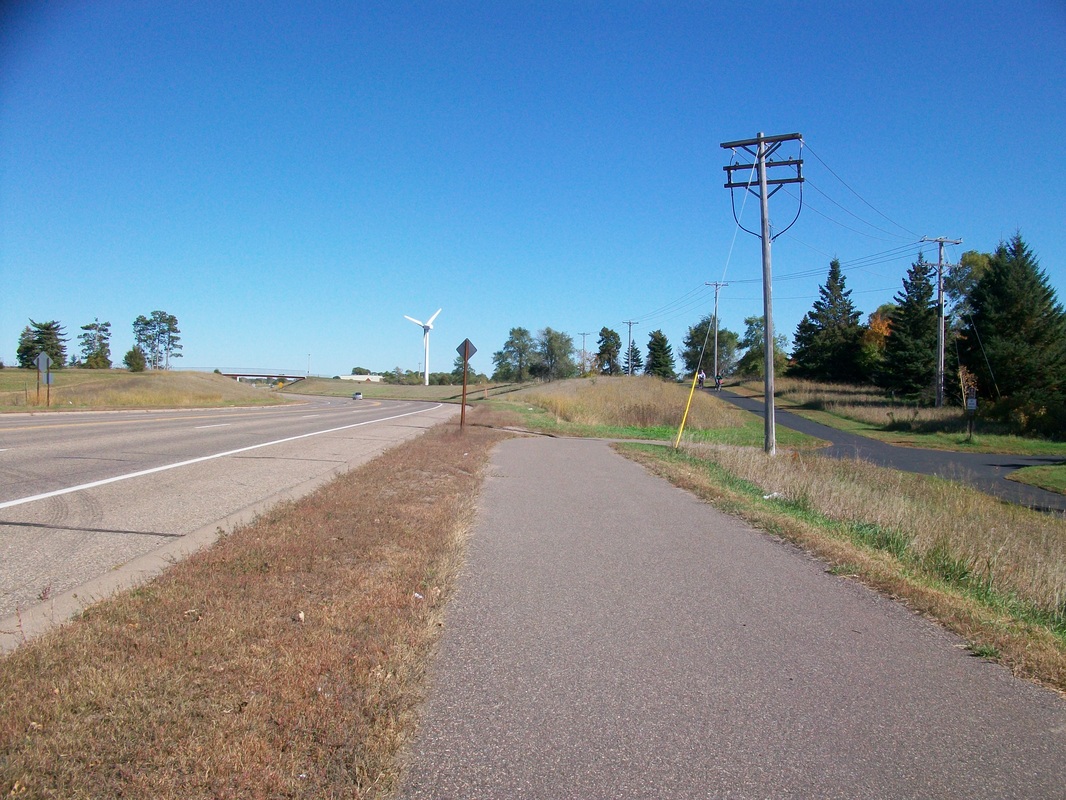
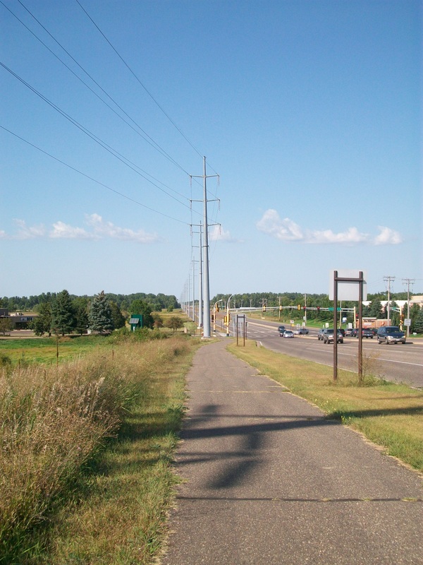
The main segment of the Central Anoka County Trail parallels Bunker Lake Blvd (Co. Rd. 16) through Ramsey, Anoka and Andover, connecting Bunker Hills Regional Park to the much more pleasant Rum River Trail and the area near the Ramsey Northstar Station and Mississippi West Regional Park. Despite the smooth pavement of the newer sections, this trail is thoroughly unpleasant and dull. The road is very busy, especially in Andover, and the nearby suburbia is a bit lacking in trees.
(Last biked Saturday, July 5th, 2014, 12 PM to 2 PM)
Ham Lake Segment (1.0 miles)
I have yet to bike this isolated segment.
Centerville Segment (5.5 miles, Rating 2 ½)
This segment begins in Hugo, and passes through historic Centerville, paralleling County Road 14 (Main Street). The section between Hugo and Centerville is in open, half-developed land that is not very interesting. Past Centerville, the trail goes between Centerville Lake and Peltier Lake before curving north past the expansive marshes of George Watch Lake. The surrounding natural wonder of the Rice Lakes certainly is splendid, but other nearby trails can show you the same thing without being next to a road.
(Last biked Sunday, November 2nd, 2014, 11 AM to 1 PM)
Go to https://www.anokacounty.us/2463/Central-Anoka-County-Regional-Trail for a map and information on the Central Anoka County Trail.
Total Length: 15.5 miles (not including gaps)
Average Rating: 2 / 5
Surface: Asphalt
Ramsey to Andover Segment (9.0 miles, Rating 1 ½)
The main segment of the Central Anoka County Trail parallels Bunker Lake Blvd (Co. Rd. 16) through Ramsey, Anoka and Andover, connecting Bunker Hills Regional Park to the much more pleasant Rum River Trail and the area near the Ramsey Northstar Station and Mississippi West Regional Park. Despite the smooth pavement of the newer sections, this trail is thoroughly unpleasant and dull. The road is very busy, especially in Andover, and the nearby suburbia is a bit lacking in trees.
(Last biked Saturday, July 5th, 2014, 12 PM to 2 PM)
Ham Lake Segment (1.0 miles)
I have yet to bike this isolated segment.
Centerville Segment (5.5 miles, Rating 2 ½)
This segment begins in Hugo, and passes through historic Centerville, paralleling County Road 14 (Main Street). The section between Hugo and Centerville is in open, half-developed land that is not very interesting. Past Centerville, the trail goes between Centerville Lake and Peltier Lake before curving north past the expansive marshes of George Watch Lake. The surrounding natural wonder of the Rice Lakes certainly is splendid, but other nearby trails can show you the same thing without being next to a road.
(Last biked Sunday, November 2nd, 2014, 11 AM to 1 PM)
Go to https://www.anokacounty.us/2463/Central-Anoka-County-Regional-Trail for a map and information on the Central Anoka County Trail.
_______________________________________________________________________________________________________________________________
Coon Creek / Sand Creek Trail (aka. Coon Creek Regional Trail)
Length: 4.9 miles
Rating: 4 ½ / 5
Surface: Asphalt
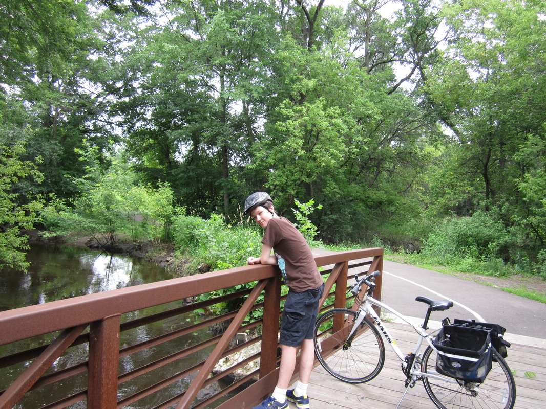
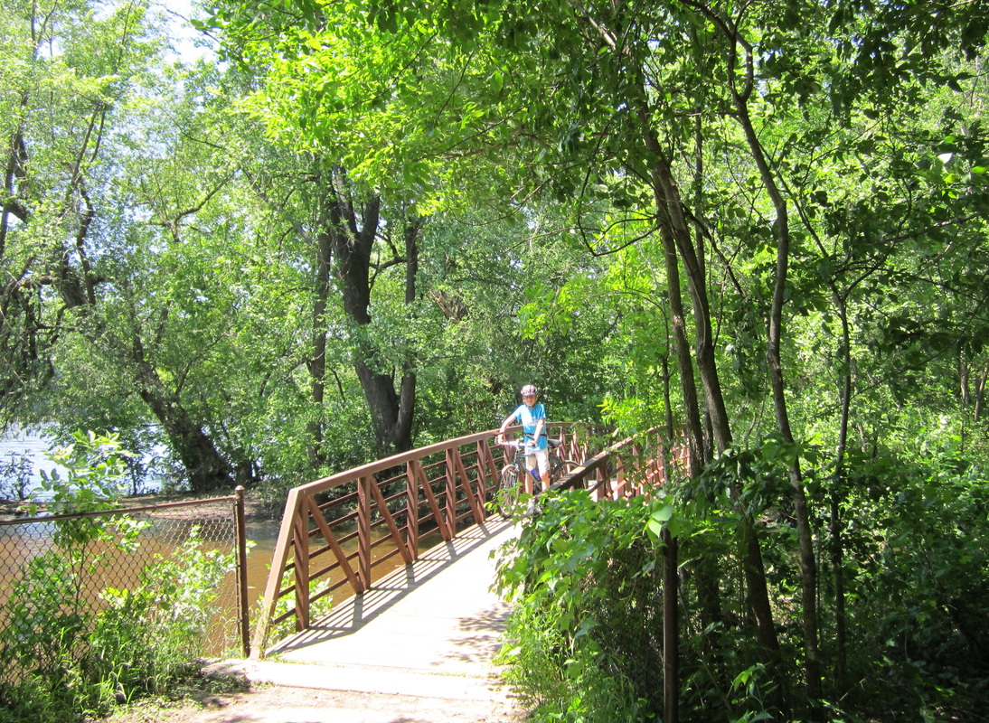
This hidden gem begins at Al Flynn Park, just north of Coon Rapids Dam Regional Park, and follows Coon Creek upstream through a wide swath of shady woods, crossing the creek countless times on delightful bridges. It then curves east and follows Coon Creek's tributary, Sand Creek, to Foley Boulevard, with lots of ups and downs (some of which seem too erratic to have been designed for bicyclists, so ride carefully). Your swath of woods is now thinner on this northeastern section, known as the Sand Creek Trail on most maps. Abrupt, unmarked on-road sections are the Coon/Sand Creek Trail's only flaw, and it is a scenic and entertaining ride, your trip made easier by Coon Rapids' recent addition of some directional signage.
(Last biked Saturday, July 5th, 2014, 2 PM to 3 PM)
Connecting to Coon Rapids Dam (and thus the Mississippi River Trail) and Bunker Hills Parks
Some sources consider the connecting roads to the parks north and south of this trail to be "part of the trail," but there is no signage indicating such. It's 0.8 miles to Coon Rapids Dam from Al Flynn Park: Continue straight across Coon Rapids Blvd. onto Avocet Street, take a left on Bluebird Street (where Avocet ends), an immediate right on 98th Lane, a right on 99th Street, and then a left onto Egret Blvd. Getting to Bunker Hills Park from the north end is much simpler: Just take a left on Foley Blvd. and go 0.9 miles to the park entrance.
(Last biked Saturday, July 5th, 2014, 2 PM to 3 PM)
Go to https://www.anokacounty.us/2466/Coon-Creek-Regional-Trail for a map and information on the Coon Creek Trail.
Length: 4.9 miles
Rating: 4 ½ / 5
Surface: Asphalt
This hidden gem begins at Al Flynn Park, just north of Coon Rapids Dam Regional Park, and follows Coon Creek upstream through a wide swath of shady woods, crossing the creek countless times on delightful bridges. It then curves east and follows Coon Creek's tributary, Sand Creek, to Foley Boulevard, with lots of ups and downs (some of which seem too erratic to have been designed for bicyclists, so ride carefully). Your swath of woods is now thinner on this northeastern section, known as the Sand Creek Trail on most maps. Abrupt, unmarked on-road sections are the Coon/Sand Creek Trail's only flaw, and it is a scenic and entertaining ride, your trip made easier by Coon Rapids' recent addition of some directional signage.
(Last biked Saturday, July 5th, 2014, 2 PM to 3 PM)
Connecting to Coon Rapids Dam (and thus the Mississippi River Trail) and Bunker Hills Parks
Some sources consider the connecting roads to the parks north and south of this trail to be "part of the trail," but there is no signage indicating such. It's 0.8 miles to Coon Rapids Dam from Al Flynn Park: Continue straight across Coon Rapids Blvd. onto Avocet Street, take a left on Bluebird Street (where Avocet ends), an immediate right on 98th Lane, a right on 99th Street, and then a left onto Egret Blvd. Getting to Bunker Hills Park from the north end is much simpler: Just take a left on Foley Blvd. and go 0.9 miles to the park entrance.
(Last biked Saturday, July 5th, 2014, 2 PM to 3 PM)
Go to https://www.anokacounty.us/2466/Coon-Creek-Regional-Trail for a map and information on the Coon Creek Trail.
_________________________________________________________________________________________________________________________________________________________
East Anoka County Regional Trail
Length: 4.9 miles
Rating: 1 ½ / 5
Surface: Asphalt
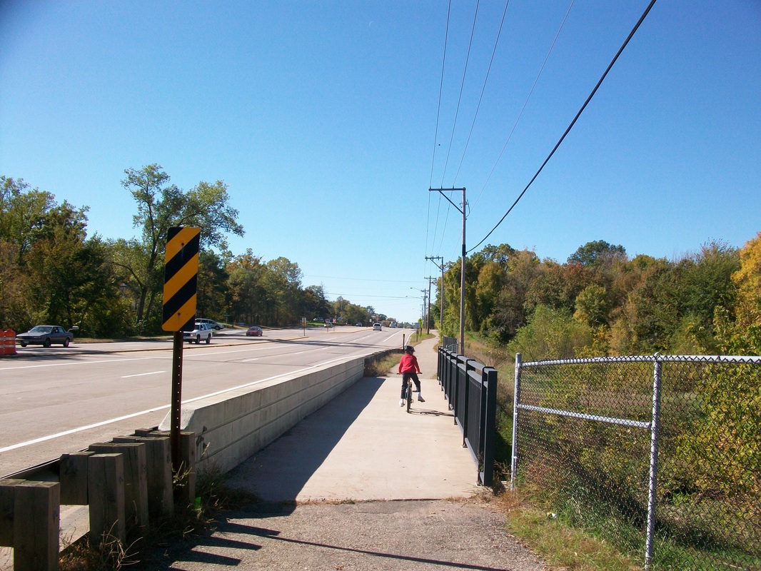
This trail parallels busy Lexington Avenue from the Rice Creek North Trail to 125th Avenue. Stopping at every light, it's just like an off-street bike lane. It is interesting to see the slow transition from suburbs to cornfields, but you can experience the same kind of transition on much nicer trails.
(Last biked Sunday, September 11, 2011, 3 PM to 7 PM)
Go to https://www.anokacounty.us/2467/East-Anoka-County-Regional-Trail for a map and information on the East Anoka County Trail.
The map below shows both the EAC Trail and the Lexington Avenue Trail to the south.
Length: 4.9 miles
Rating: 1 ½ / 5
Surface: Asphalt
This trail parallels busy Lexington Avenue from the Rice Creek North Trail to 125th Avenue. Stopping at every light, it's just like an off-street bike lane. It is interesting to see the slow transition from suburbs to cornfields, but you can experience the same kind of transition on much nicer trails.
(Last biked Sunday, September 11, 2011, 3 PM to 7 PM)
Go to https://www.anokacounty.us/2467/East-Anoka-County-Regional-Trail for a map and information on the East Anoka County Trail.
The map below shows both the EAC Trail and the Lexington Avenue Trail to the south.
_______________________________________________________________________________________________________________________________________________________


Mississippi River Regional Trail (aka. Mississippi Trail)
Length: 16.0 miles
Rating: 3 ½ / 5
Surface: Mostly asphalt, some on-road
The Mississippi Trail is a fine and popular connector from NE Minneapolis to Coon Rapids Dam Regional Park. If you can make it through the gritty industry of the first mile, some sections, like those in Riverfront Park and Coon Rapids Dam Park, couldn't be much better, following the river with beautiful scenery and smooth pavement. In Fridley, the trail is composed of many on-street sections, most notably Riverview Terrace, which hugs a wild section of the river. You don't need to worry about losing your way due to reliable blue way-marking signs, and all of the streets are quiet side streets. The trail connects to several parks along the river and the Saint Anthony Parkway, Rice Creek West and Rush Creek Trails.
(Last biked Saturday, July 5th, 2014, 3 PM to 4 PM)
Connecting to Anoka
North of Coon Rapids Dam Park, the trail technically continues to Anoka (where you can connect with the Rum River Trail), but the "trail" is nowhere near the river (partially due to riverfront private property), signage is limited, and most of the corridor follows busy Coon Rapids Boulevard on a tattered, bumpy path. I wouldn't try it if I were you.
(Last biked Sunday, Setpember 23rd, 2012, 1 PM to 4 PM)
Go to https://www.anokacounty.us/904/Mississippi-River-Regional-Trail for a map and information on the Mississippi River Trail.
_______________________________________________________________________________________________________________________________________________________


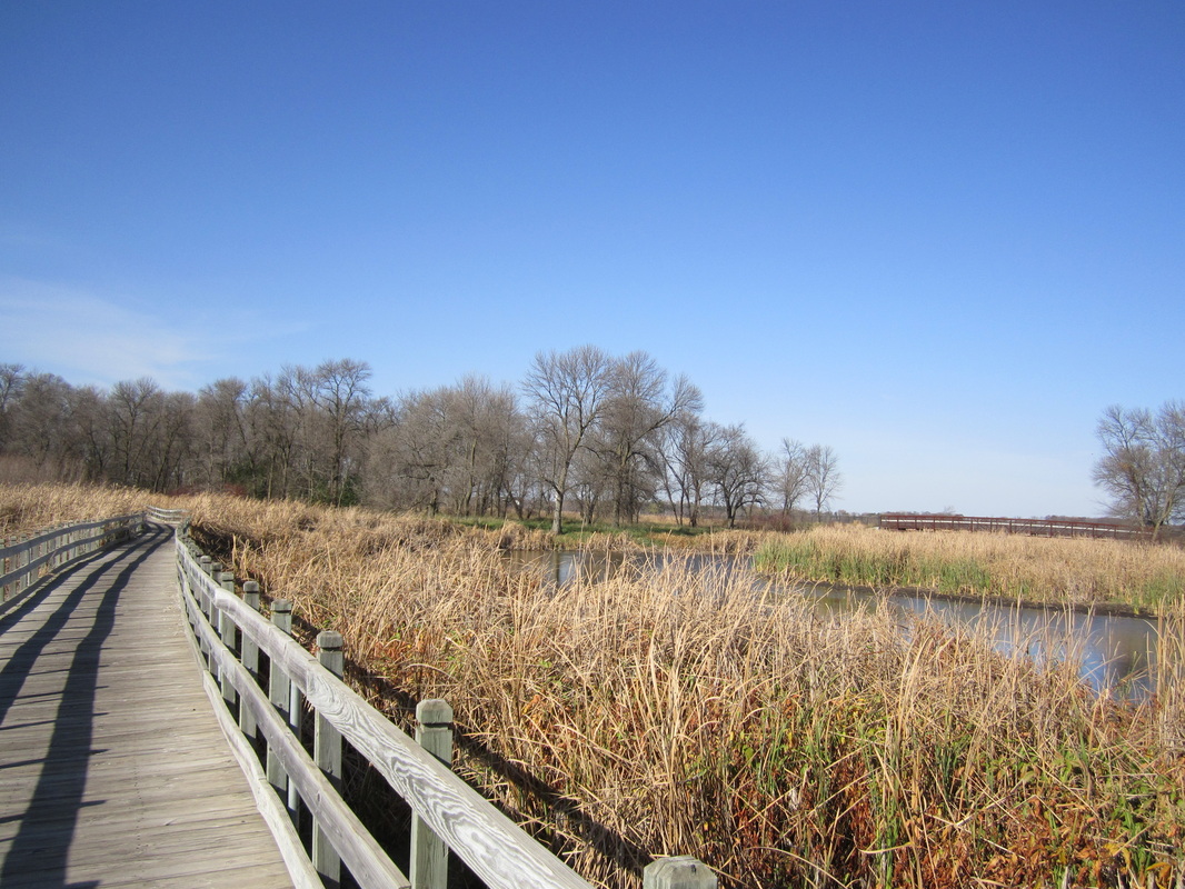
Rice Creek Chain of Lakes Trail
Length: 5.8 miles (4.0 miles from Aqua Lane to Centerville)
Rating: 4 ½ / 5
Surface: Asphalt
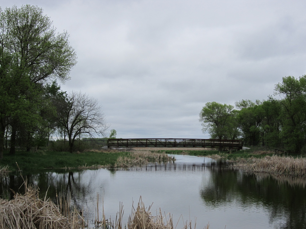
Rice Creek Chain of Lakes Park Reserve, the second largest park in the metro, preserves a swath of wetland wilderness that cleaves Lino Lakes in two. Motorists have to go around the park, but bicyclists can head straight across on the main park trail, which connects Aqua Lane and the Rice Creek North Trail in the west with Centerville in the east. The beautiful wetlands here are home to all sorts of waterbirds, and you'll catch sight of Marshan, Reshaunau, George Watch and Centerville Lakes along the way. Being flat, it's also good for beginners. A spur trail goes along the northwest side of Centerville Lake, allowing you to ride around the lake. The only drawbacks of this trail are its complete lack of signage, and the less interesting portion west of the Rice Creek North Trail.
(Last biked Sunday, November 2nd, 2014, 12 PM to 2 PM)
Go to https://www.anokacounty.us/DocumentCenter/View/427 to download a PDF map of Rice Creek Chain of Lakes Park Reserve.
_____________________________________________________________________________________________________________________________________________________
Length: 5.8 miles (4.0 miles from Aqua Lane to Centerville)
Rating: 4 ½ / 5
Surface: Asphalt
Rice Creek Chain of Lakes Park Reserve, the second largest park in the metro, preserves a swath of wetland wilderness that cleaves Lino Lakes in two. Motorists have to go around the park, but bicyclists can head straight across on the main park trail, which connects Aqua Lane and the Rice Creek North Trail in the west with Centerville in the east. The beautiful wetlands here are home to all sorts of waterbirds, and you'll catch sight of Marshan, Reshaunau, George Watch and Centerville Lakes along the way. Being flat, it's also good for beginners. A spur trail goes along the northwest side of Centerville Lake, allowing you to ride around the lake. The only drawbacks of this trail are its complete lack of signage, and the less interesting portion west of the Rice Creek North Trail.
(Last biked Sunday, November 2nd, 2014, 12 PM to 2 PM)
Go to https://www.anokacounty.us/DocumentCenter/View/427 to download a PDF map of Rice Creek Chain of Lakes Park Reserve.
_____________________________________________________________________________________________________________________________________________________

Rice Creek North Regional Trail
Total Length: 13.8 miles total
Average Rating: 4 ½ / 5
Surface: Asphalt
Southern Segment & Loop (3.2 miles, plus 2.2-mile loop, Rating 4)
Beginning with a satisfying little loop in Arden Hills, which showcases a portion of the creek from both sides, the southern segment of the Rice Creek North Trail winds through Shoreview to Circle Pines. It follows the general route of Rice Creek, with twists, curves, and unmarked spur trails left and right, making it quite easy to lose your way. The prairie land around the creek, however, is beautiful. The pavement condition is pretty good in Arden Hills, so-so in Shoreview, and terrible in Circle Pines (approaching the point where the trail is not rideable).
(Last biked Sunday, November 2nd, 2014, 1 PM to 3 PM)
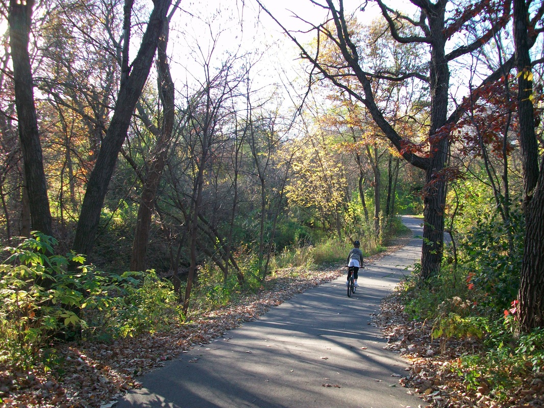
Northern Segment (5.0 miles, Rating 5)
This amazing segment, marked by signs, winds through woods and marsh around the Rice Creek chain of lakes, from Baldwin Park in Circle Pines to the Lino Lakes YMCA. These lands are not yet tamed by the trail, and the tranquility of it all makes me want to keep my voice down. With the exception of a short straightaway next to a road, you will find few signs of human development.
(Last biked Sunday, May 6, 2012, 4 PM to 7 PM)
Segment Connector (3.4 miles, Rating 2)
Until the segments are connected via a trail next to the creek, Anoka County has assigned trails next to County J and Ware Road, which are moderately busy, as the official route. It is well-marked with signs.
(Last biked Sunday, November 2nd, 2014, 1 PM to 3 PM)
Total Length: 13.8 miles total
Average Rating: 4 ½ / 5
Surface: Asphalt
Southern Segment & Loop (3.2 miles, plus 2.2-mile loop, Rating 4)
Beginning with a satisfying little loop in Arden Hills, which showcases a portion of the creek from both sides, the southern segment of the Rice Creek North Trail winds through Shoreview to Circle Pines. It follows the general route of Rice Creek, with twists, curves, and unmarked spur trails left and right, making it quite easy to lose your way. The prairie land around the creek, however, is beautiful. The pavement condition is pretty good in Arden Hills, so-so in Shoreview, and terrible in Circle Pines (approaching the point where the trail is not rideable).
(Last biked Sunday, November 2nd, 2014, 1 PM to 3 PM)
Northern Segment (5.0 miles, Rating 5)
This amazing segment, marked by signs, winds through woods and marsh around the Rice Creek chain of lakes, from Baldwin Park in Circle Pines to the Lino Lakes YMCA. These lands are not yet tamed by the trail, and the tranquility of it all makes me want to keep my voice down. With the exception of a short straightaway next to a road, you will find few signs of human development.
(Last biked Sunday, May 6, 2012, 4 PM to 7 PM)
Segment Connector (3.4 miles, Rating 2)
Until the segments are connected via a trail next to the creek, Anoka County has assigned trails next to County J and Ware Road, which are moderately busy, as the official route. It is well-marked with signs.
(Last biked Sunday, November 2nd, 2014, 1 PM to 3 PM)
_________________________________________________________________________________________________________________________________________________________

Rice Creek West Regional Trail
Length: 4.9 miles
Rating: 4 ½ / 5
Surface: Asphalt, crushed limestone alternate trail
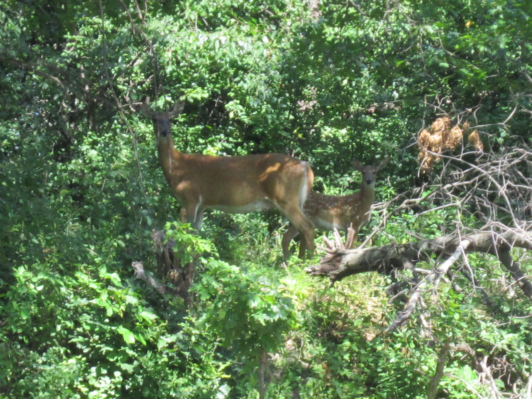
The Rice Creek West Trail follows the final five of Rice Creek's 28 miles, in New Brighton and Fridley. The New Brighton section is nothing special, just a straightaway next to a railroad track. Stay tuned, however, because the section between the Anoka county line and Locke County Park is a blast, with secluded woods, curves, and hills (the one just west of Central Avenue is one of the steepest I've ever encountered). There's also the creek itself, which the trail winds along and crosses on several quaint bridges, with some of the Twin Cities' best opportunities to see deer and waterbirds.
The section from Locke Park to the Mississippi River Trail is more out in the open, but still delights and is easier. If you want to maintain a feeling of seclusion for as long as possible, there's a primitive gravel alternate trail that sticks with the creek from Highway 65 to University while the main trail diverts north to the Locke Park picnic area.
(Last biked Monday, June 23rd, 2014, 12 PM to 2 PM)
Go to https://www.anokacounty.us/2470/Rice-Creek-West-Regional-Trail for a map and information on the Anoka County (Fridley) Section of the Rice Creek West Regional Trail.
Go to https://www.ramseycounty.us/sites/default/files/Parks%20and%20Recreation/Regional%20Trail%20Maps%20-%20Rice%20Creek%20West.pdf to download a PDF map of the Ramsey County (New Brighton) Section of the Rice Creek West Regional Trail.
_________________________________________________________________________________________________________________________________________________________
Length: 4.9 miles
Rating: 4 ½ / 5
Surface: Asphalt, crushed limestone alternate trail
The Rice Creek West Trail follows the final five of Rice Creek's 28 miles, in New Brighton and Fridley. The New Brighton section is nothing special, just a straightaway next to a railroad track. Stay tuned, however, because the section between the Anoka county line and Locke County Park is a blast, with secluded woods, curves, and hills (the one just west of Central Avenue is one of the steepest I've ever encountered). There's also the creek itself, which the trail winds along and crosses on several quaint bridges, with some of the Twin Cities' best opportunities to see deer and waterbirds.
The section from Locke Park to the Mississippi River Trail is more out in the open, but still delights and is easier. If you want to maintain a feeling of seclusion for as long as possible, there's a primitive gravel alternate trail that sticks with the creek from Highway 65 to University while the main trail diverts north to the Locke Park picnic area.
(Last biked Monday, June 23rd, 2014, 12 PM to 2 PM)
Go to https://www.anokacounty.us/2470/Rice-Creek-West-Regional-Trail for a map and information on the Anoka County (Fridley) Section of the Rice Creek West Regional Trail.
Go to https://www.ramseycounty.us/sites/default/files/Parks%20and%20Recreation/Regional%20Trail%20Maps%20-%20Rice%20Creek%20West.pdf to download a PDF map of the Ramsey County (New Brighton) Section of the Rice Creek West Regional Trail.
_________________________________________________________________________________________________________________________________________________________

|
Rum River Regional Trail
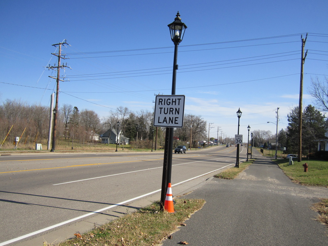
Length: 3.1 miles Rating: 4 ½ / 5 Surface: Asphalt The Rum River Trail begins in downtown Anoka and follows the Rum River upstream to just north of County Road 116. Though one small section in downtown Anoka is on a road, this section is short and not very busy. North of downtown, the trail is incredibly well maintained, seeming freshly paved almost always. The trail follows the sharply winding river north through fields and forests. A wonderful little ride. (Last biked Saturday, July 5th, 2014, 12 PM to 2 PM) Go to https://www.anokacounty.us/2471/Rum-River-Regional-Trail for a map and information on the Rum River Trail. |
BUT WAIT, THERE'S MORE
There is a also a segment of the Rum River Trail in Oak Grove and Saint Francis. It's so far away that I probably won't bike it until they've connected it with the main segment. Click here for the plan for this trail's future. |
_______________________________________________________________________________________________________________________________________________
Anoka County Rides
Rum River & Around (10 miles - Anoka and Ramsey)
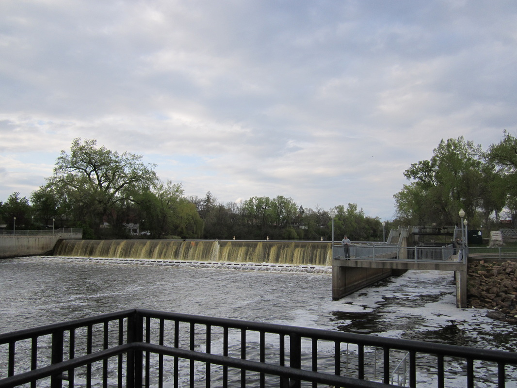
Begin at the Rum River/ Historic Anoka Trailhead in the heart of Anoka, and get on the Rum River Trail. Just a few minutes to the north lies the quaint and historic Rum River Dam. The trail stops and starts a little, but two of the three sections are clearly marked by signs reading "Anoka Historic Rum River Regional Trail." Once you get out of downtown Anoka, the fun begins as the trail follows the river's winding course. At the Rum River Trail's terminus at Highway 116 (Bunker Lake Blvd.), turn left on the Central Anoka County Trail.
The trail crosses the river, heading into scenic River Bend Park, then crosses busy Highway 47, and continues along next to Highway 116. At the end of the trail segment, turn right on Germanium Street into Ramsey (where the north-south streets are cleverly named after elements) and enjoy biking on its fun, winding roads. A good final destination can be Emerald Pond Park, several blocks west from Germainium via 142nd Avenue, where you can break out a snack or picnic while admiring the large pond (or small lake, whichever you think). From there go back the way you came and back down the Rum River Trail to Anoka.
Rice Lakes Route (15 miles - Circle Pines, Lino Lakes, and Centerville)
With its many trails and few roads, Rice Creek Chain of Lakes Park is a great place to explore. Almost all of this ride is within its vast boundaries. Between its several lakes you'll find beautiful wetlands and woods with many birds. Be sure to bring a map to navigate the unmarked turns, and be prepared to encounter a lot of foot traffic in some places.
Begin at Baldwin Park in Circle Pines, and head down the North Segment of the Rice Creek North Trail. Baldwin Lake is through the trees to the right. The trail parallels Birch Street for a bit, then turns left into the grounds of Rice Creek Elementary School (be warned that this crucial turn is completely unmarked). After weaving past the school, you'll reach newer pavement again, which takes you through the woods past spectacular Rice Lake. By and by, you'll cross Aqua Lane and come to Marshan Lake, where the trail turns right. In a moment, turn right again (on the Rice Creek Chain of Lakes Park Trail), following signs for Chomonix Golf Course, and get a look at the Rice Creek North Trail's bridges from an older boardwalk. Past the Golf Course, you'll come to Reshanau Lake, on the creek's south branch, the first lake so far that exceeds five feet deep, making its character much less marshy than the earlier lakes. There's a small gap in the trail here: turn left on West Shadow Lake Drive for 200 feet. Just beyond Reshanau, if you're looking in the right place at the right time, you'll see shallow George Watch Lake sprawling to the north.
When you come to Centerville Lake, another of the deeper character, turn right. You'll start seeing mile markers for the Centerville Lake Loop. Follow the mini-maps on the markers to complete this wonderful loop, which shows you Centerville (a pre-Civil War town) and Peltier Lake. You can take a spur to the Peltier Lake Landing to look at the dam that separates Peltier and George Watch lakes. The loop also takes you to the park's visitor center, on the north side of Centerville Lake. When you get back to the Centerville Lake landing, head back the way you came.
Download the file below for a map of the ride.
| rice_lakes_ride.pdf |
